Mt. Starr 12,835'
Looking south along the N-S ridge of Mt. Starr to Bear Creek Spire on the left and Mt. Dade, Mt. Abbott, Mt. Mills on the right. My ascent of Mt. Starr was up the north part of the west face. After gaining the ridge I started traversing south to get to the summit. Failing to find a summit register or a definite high point, I eventually descended the SW face.

SE to Mt. Morgan, left, and Mt Humphreys on the right skyline.

NE to Rock Creek, Wheeler Ridge, and the White Mountain Range.
North to Pointless Peak and Red Mt.
NW to Red and White Mt.,
Mt. Hopkins, Mt. Crocker,
and the Pioneer Basin.
South from Mono Pass to Bear Creek Spire, Mt. Dade, Mt. Abbott, and Mt. Mills.
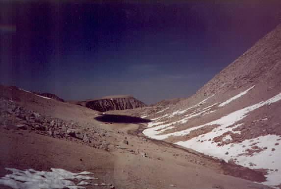
North from Mono Pass to
Summit Lake and
the west face of Mt. Starr (right).