
Spook Canyon
Spook Canyon is part of the eastern escarpment of the Sierra Nevada Mountain Range. It is about 12 miles NNW of Independence and 16 miles SW of Big Pine. Follow Secor's instructions to the Sawmill Pass trailhead and continue west to the end of the dirt road. Spook Canyon can also be described as the east face of a ridge abutting east from the crestline south of Mt. Perkins and north of Colosseum Mt. The Tom Harrison "Kings Canyon High Country" map provides an excellent representation as usual.
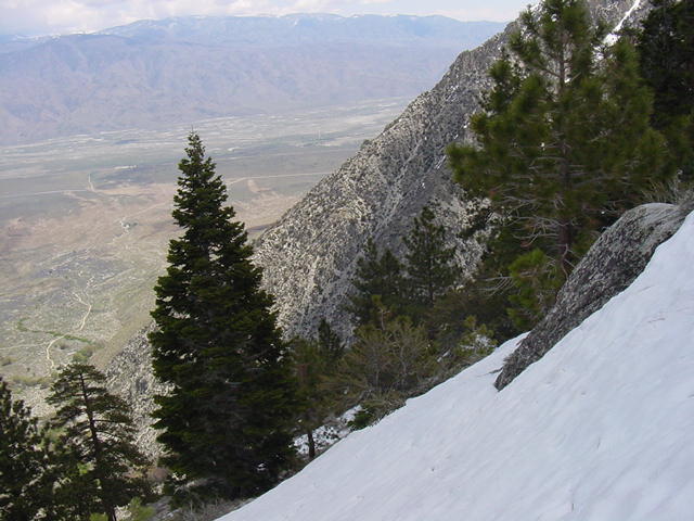
East from the high point. We gained about 3000' elevation from the 4000'
level of the valley but were still 5000' shy of the 12,000' crestline. But since
it is a two day hike just to get to the top of Sawmill Pass, sans snow, we
didn't do too bad for a dayhike.

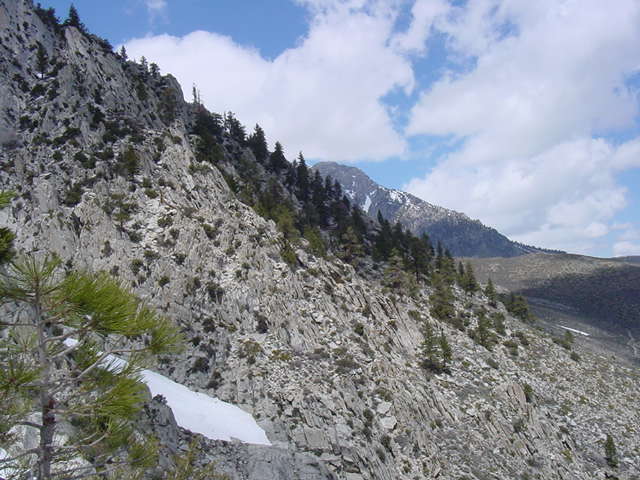
West to the crestline. Failure to bring crampons and Ice ax stopped us on
this April assault of the east face after a 200% snow pack season.
North to Goodale Mt. 12,772'