
South to Sonora Pass. The Sonora pass road goes through the canyon between the forested section and the black cliff.
Sonora Peak 11,462'
South to Sonora Pass. The Sonora pass road goes through the canyon between
the forested section and the black cliff.
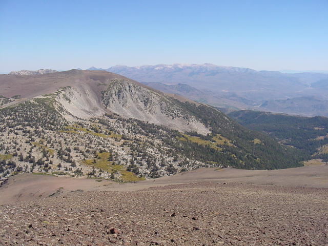
Northeast to Mt. Patterson 11,654', Wheeler Peak 11,646', and Nevada.

West of Sonora Peak is the Stanislaus National Forest and the north fork of
the Stanislaus River.
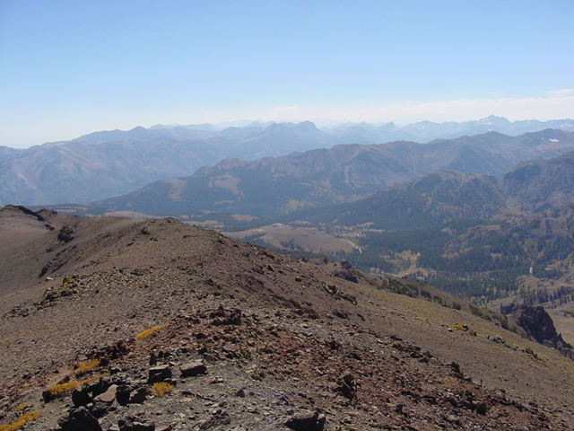
To the southeast is the SE ridgeline which is the last mile of the ascent
route. We hiked up Sonora Peak in September. For most of the year the pass is
closed and snowed in.