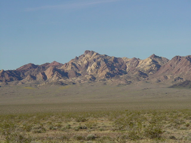
East Face
Sheephead Mountain
East Face
Ten miles west of Shoshone is Salsberry Pass. Sheephead Mt. is a mile or two to the south. It is best to head about 30 degrees west of the peak and stay away from doing a bunch of up and down stuff that crossing a dozen ridges perpendicularly entails. After reaching the same latitude as the peak, pick one ridge and hike east to the summit.

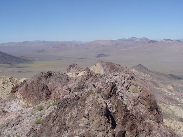
Looking south along the Ibex Hills.
North to the Greenwater Valley and Greenwater Range.
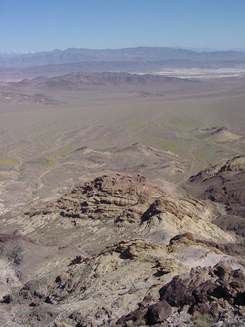
East to the Resting Spring Range.
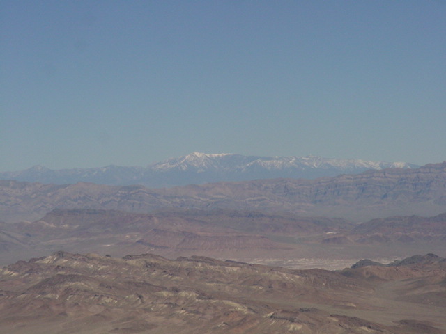
Telephoto east to Mt. Charleston.