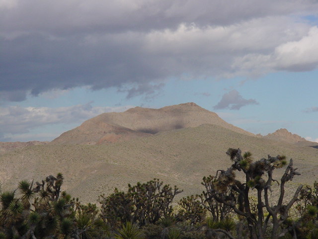
Highland Mt. from the west.
Highland Mt.
Highland Mt. from the west.
Highland Mt. is 19 miles east of state line and 40 miles NW of Laughlin. Due to a fallen Yucca tree blocking the road the roundtrip distance is about 5 miles. Instead of following the gully/wash route Zdon recommends, I hiked along the west ridge of the peak to see where I was going and even more importantly, memorize how to get back to the vehicle. There is some exposure on the final section of the summit ridge.
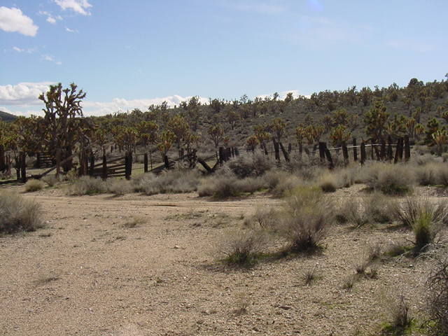
The corral and former starting point.
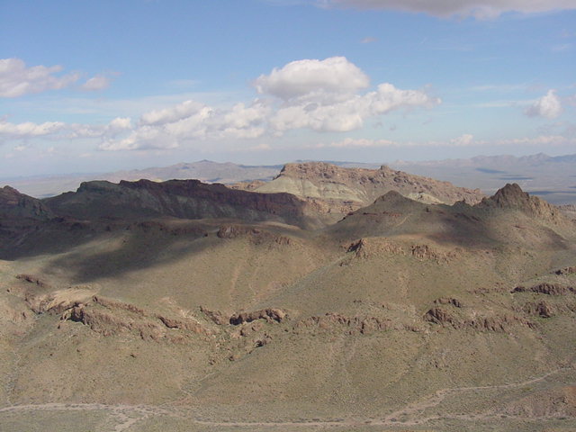
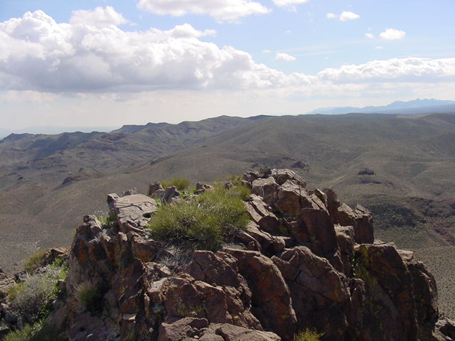
East into the Highland range.
North to Black Mt.
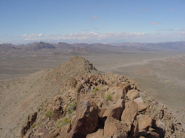
South toward Searchlight.