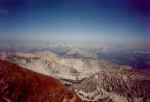
NW to Mammoth Mt.,center, and
Banner Peak and Mt. Ritter, upper left.
Bloody Mt. 12,552'

NW to Mammoth Mt.,center, and
Banner Peak and Mt. Ritter, upper left.
From the Laurel Lakes road Bloody Mt. is one of the easiest
peaks in the
Sierras to get to the top of. Hiking up the north face took me 2hrs and
15minutes.
The route was up the north face to the eastern summit and traversing the summit
ridge to the higher western summit. Due to cliffs below the western summit,
descending via the ascent route is advised. The photos were taken while
the Sierras were enveloped in smoke from the Manter forest fire.

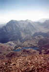
East to Lake Genevieve and Mt. Morrison.

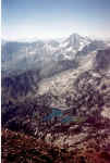
South to Lake Dorothy and Mt. Baldwin.

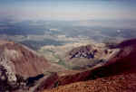
NE and looking down the north face to Laurel Lake, lower left,
and the Laurel Lakes road, center.