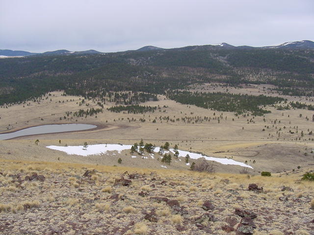
West to Greens Peak
Antelope Mt.
West to Greens Peak

SW to the Sunrise Ski Resort.

Judging by the way the west wind has
permanently shaped these trees this
is a view to the NNW.
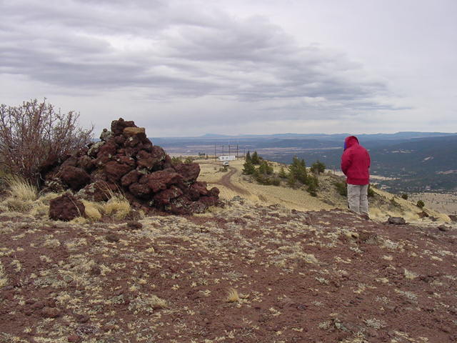
Looking east on the summit plateau to Springerville.
Antelope Mt. is on the NW
corner of the Apache National Forest
about 25 miles from the Arizona-New Mexico state line. There
is a road going to the top but it is not recommended. The
outside track is lower than the inside track and anyone driving
the road will be praying his center of gravity is low enough
to avoid falling down the south face cliff.